3D Models: Includes point clouds in a variety of formats.
Elevation Models: Easily generated geo-referenced DSMs/DTMs.
Export: Share 3D maps and models in a sophisticated server environment private or public.
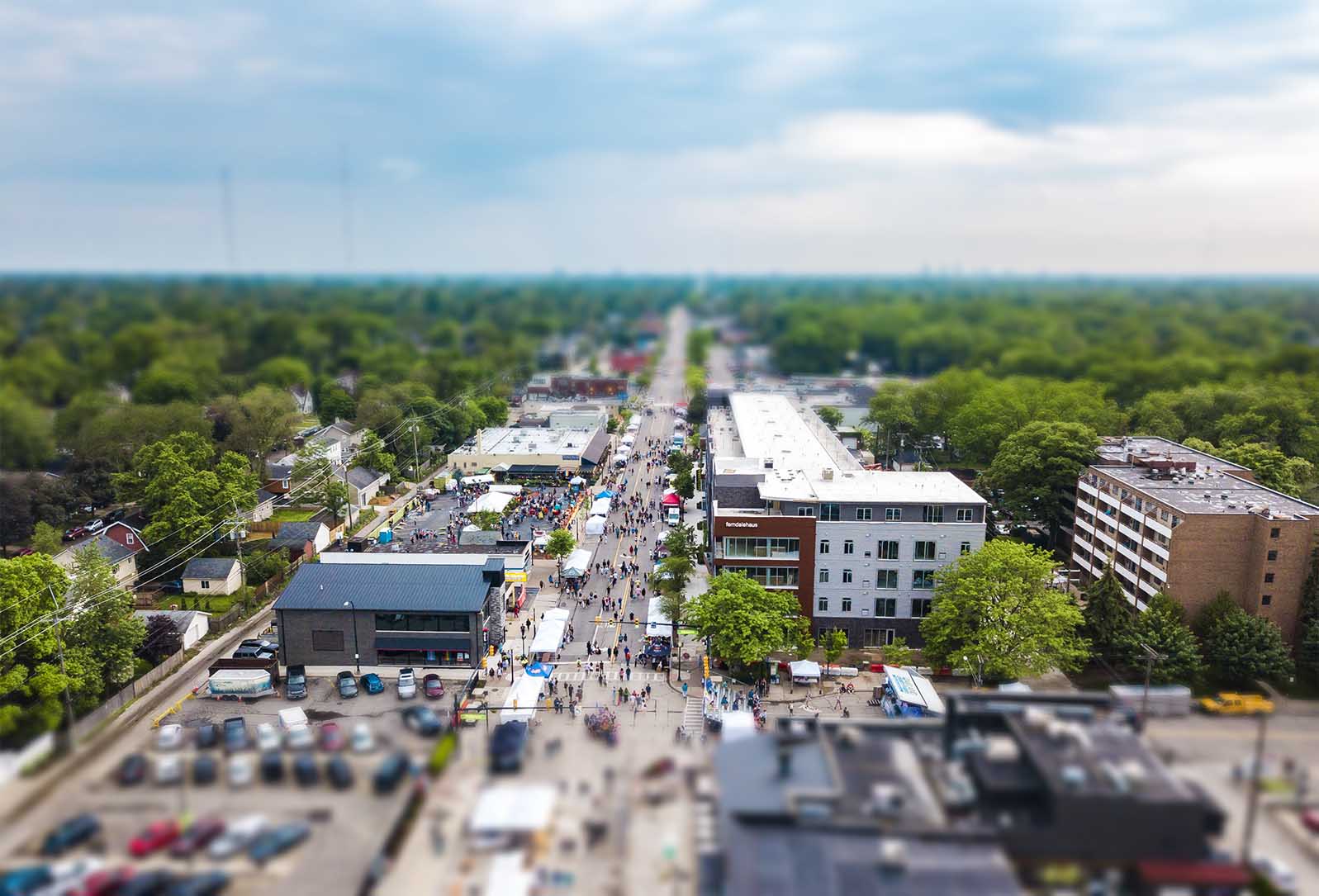
Live Event Coverage
Aerial Video Service with Same Day Turnaround. Non-obtrusive, quiet, safe, licensed, certified professionals.
Track and catalogue on-site progress with aerial time lapse photography and live streaming 4k video. Retain 3D Renders for CAD software.
Create 3D Renders of land and structures. Capture in multiple formats: Photo, Video, and 3d. Inc. DXF, LAS, OBJ, SHP, TIFF, JPG.
Enhance Your MLS Listings with Aerial Photos, Aerial Video or 3D render made from drone images.
Aerial Imaging For Your High Profile Projects
Aerial Video Service with Same Day Turnaround. Non-obtrusive, quiet, safe, licensed, certified professionals.
Track and catalogue on-site progress with aerial time lapse photography and live streaming 4k video. Retain 3D Renders for CAD software.
Create 3D Renders of land and structures. Capture in multiple formats: Photo, Video, and 3d. Inc. DXF, LAS, OBJ, SHP, TIFF, JPG.
Enhance Your MLS Listings with Aerial Photos, Aerial Video or 3D render made from drone images.
Real Estate Services
Rich 4K Aerial Imaging. Share the experience with clients. Live MLS integration. Share 360 degree and VR video for property listings or live events, in HD, in real time on Youtube, FB, IG, etc.
Date of service to be rendered depends upon weather and FAA regulations. If project exceeds one day please include schedule in the form.
